

3C - Landscape Patterns
Click on maps to see larger images
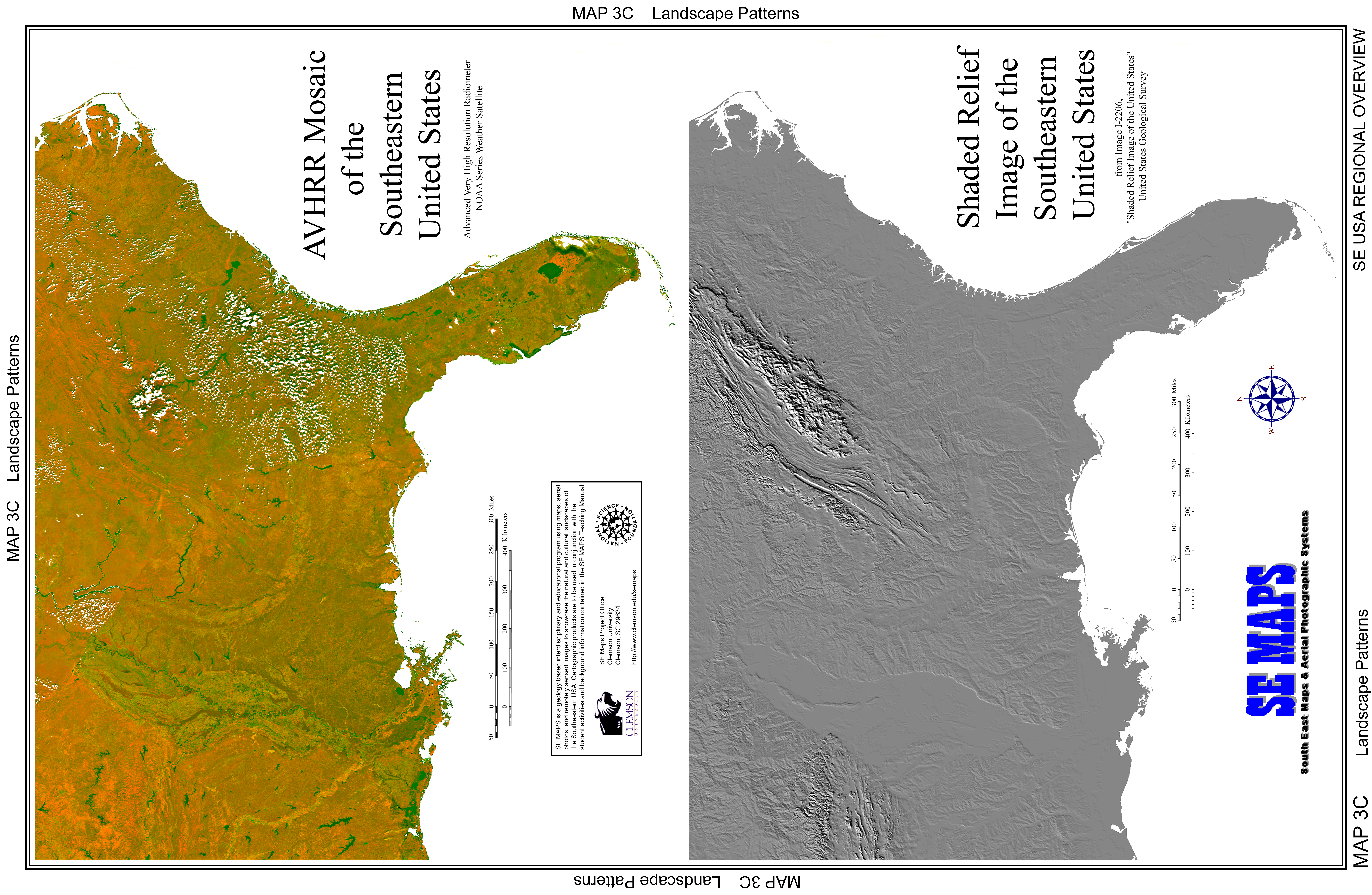
Click to see High Resolution version: AVHRR, Shaded Relief, or Complete Map 3C
 |
 |
Rationale:
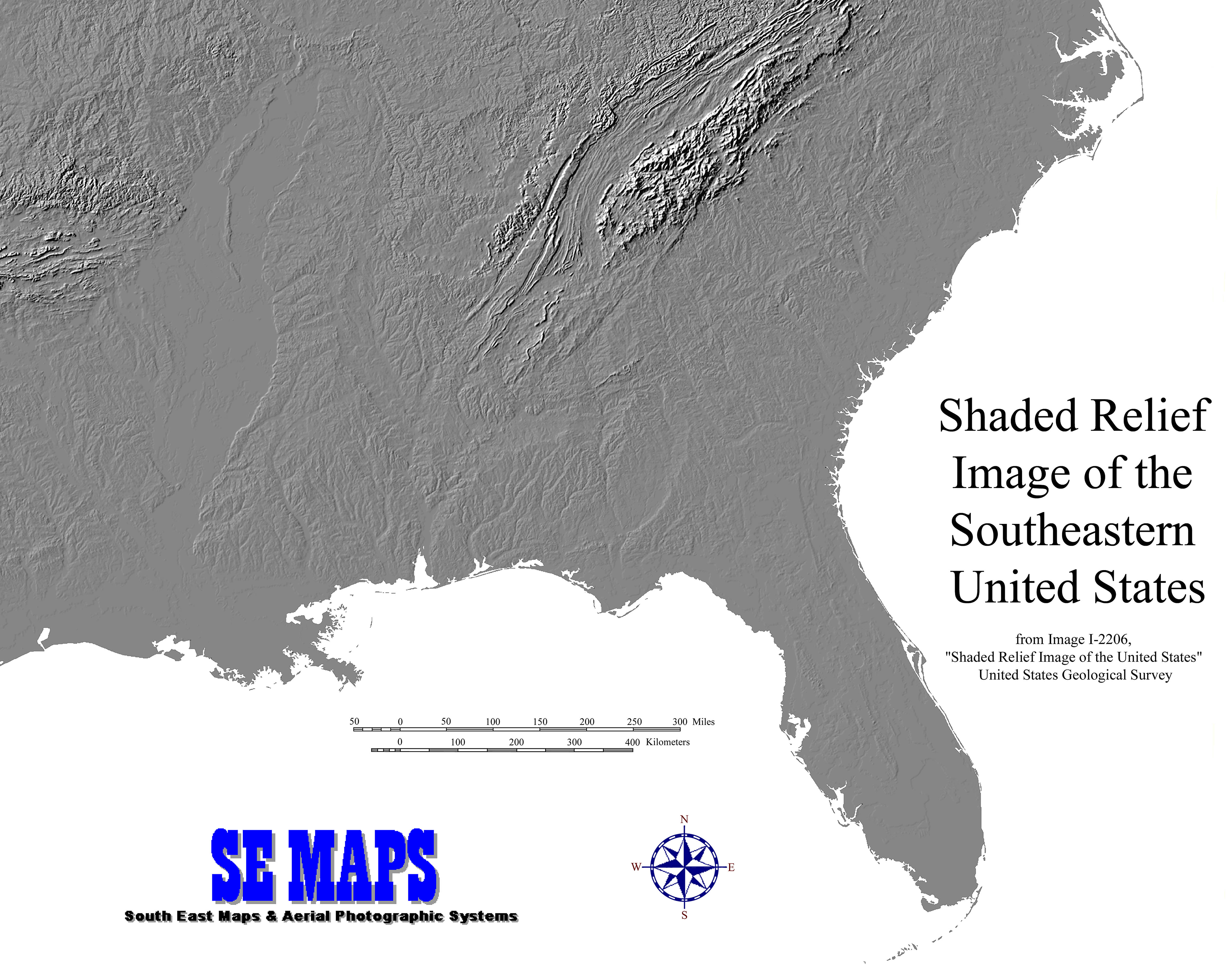
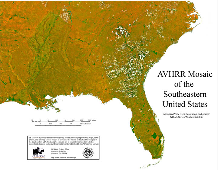
The ability to view the actual surface of the earth from 800 km (480 miles) above the ground provides a clear indication of the areal extent of landscape patterns and a coherent look at how these regions interrelate. Satellite imagery gives a very different perspective from ground-based imagery and includes features that are difficult to portray on regional maps. The Advanced High Resolution Radiometer (AVHRR) gathers information at several different spectral bandwidths, but is most sensitive to the presence and condition of vegetative cover over large land areas. AVHRR images can be used to monitor vegetation distribution and seasonal changes on a global scale. Shaded relief images demonstrate the advantages of using computers to handle large amounts of data. Digital elevation models typically contain millions of terrain-height data points. The computer software assigns each of these points a brightness value corresponding to its simulated reflectivity for a particular sun-angle.
Themes
|
Content Outline
|
Activity TitlesAll activities include
|
|